
About living and working in the Columbia River Gorge area
|
Pictures
About living and working in the Columbia River Gorge area |
Clicking on a thumbnail photo will bring up a larger version of the
photo.
Please hit your browser's BACK button to return to this page after
viewing each photo.
11/5/1999
A trip up the Washington bank of the Columbia (east) a ways from
White Salmon.
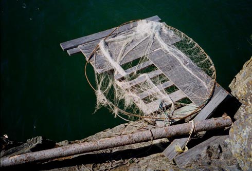 |
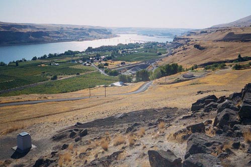
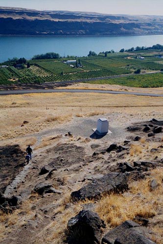
These river banks have been used for centuries as tribal fishing grounds. Evidence that they are still used as they were 200 years ago. |
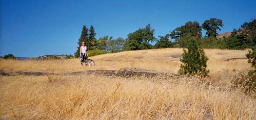 |
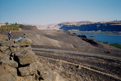
Jenn and Loch in the golden grasses that dress the hillsides of the Gorge. |
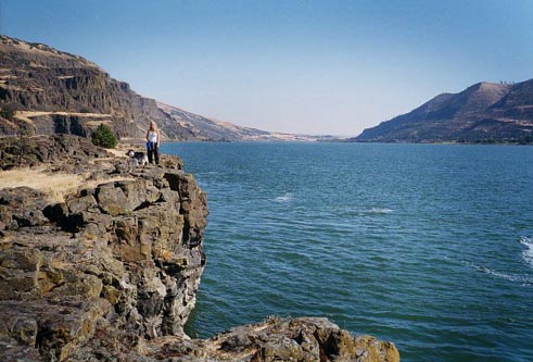 |
The Rocky cliffs of the Columbia that the fishing platforms are built on. |
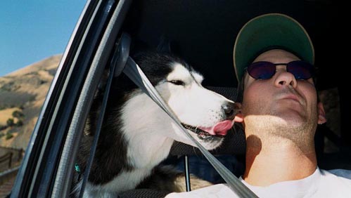 |
Loch kissing Rusty cause it's a sunny beautiful day. |
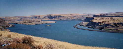 |
A beatuiful view of the Columbia River Gorge. |
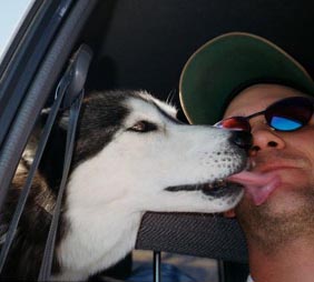 |
Loch kissing Rusty some more cuz it's even more beautiful out where we're having adventures. |
 |
The view West downstream toward the town of Maryhill from the Sam Hill Memorial that is a replica of Stonehenge. |
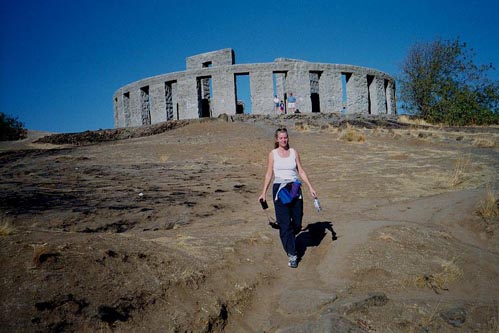 |
Jenn walking down from the memorial that commemorates local men and boys that died in the armed forces. Sam assumed Stonehenge as a pagan sacrificial altar and felt that it was an appropriate symbol to memorialize those killed in war. |
 |
Sam Hill's Grave is located in the foreground as a father and son climb down to see it. |
 |
Father and son look out over the precipice. A wildland grass fire has charred the area in the distance to the East. |
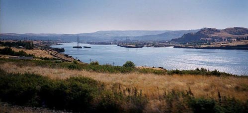 |
The Columbia River Gorge is truly an incredible sight. Here the historic town of The Dalles is visible in the distance. The site on which The Dalles sits is a narrow point on the river that has been used as a fording spot for centuries. |
[PageOne]
[Rusty]
[Jupiter]
[Cool]
[Portfolio]
[Firefighting]
[LatestGreatest]
Page
& Images - Copyright 1998 - Rusty Coonfield
[email protected]